Earth Unveiled
Thirty seconds that open a science series. It starts in orbit, drops through the clouds onto a terraced hill in West Java, follows a survey line across it and ends on a question. The planet in the first shot is built from satellite data, so Java sits where Java really is.
the numbers
- 3
- public datasets behind the planet. NASA imagery, Copernicus elevation and Natural Earth coastlines.
- 1
- camera move from the command room out over the forest, nearly fifteen seconds without a cut
- 2.3M
- points in the seismic cutaway, each moved by a simulated wave
- 8
- geophones tracked on the plate, each lighting up on its own simulated arrival
The planet is real
The opening Earth is a Blender scene built from NASA Blue Marble imagery and Copernicus elevation data, checked against Natural Earth coastlines. The continents, Java and the line between night and day are where they really are.
The globe turns and settles with Indonesia facing camera, and the dive is aimed at West Java, where the site is. The finished frame is painted over that render.
- 01draft
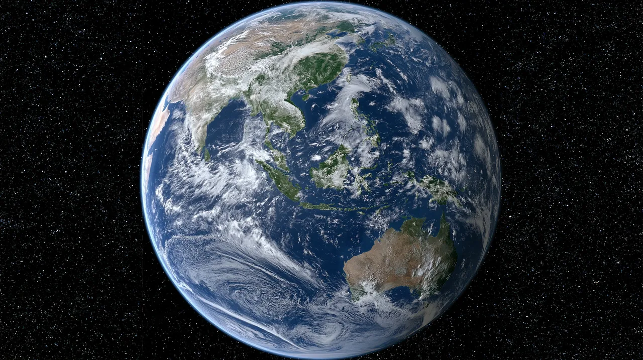
- 02blender
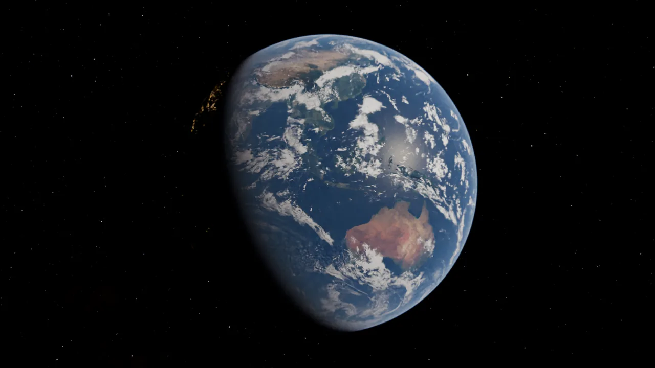
- 03keyframe
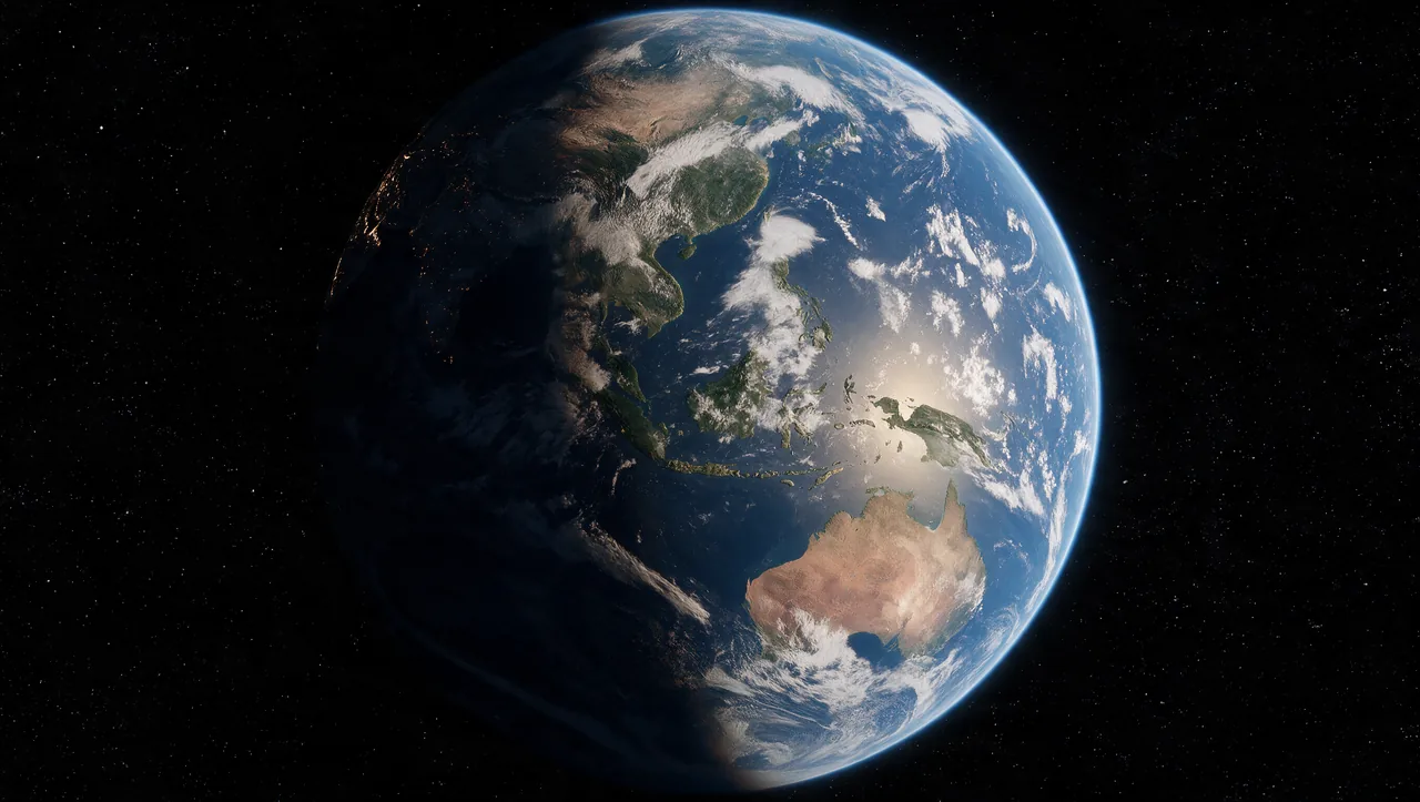
- 04in the film
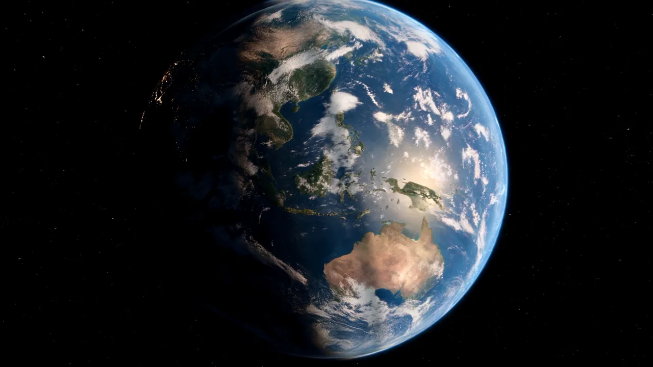
the draft set the look and the Blender render set the geography. the keyframe joins the two, and the film starts from it.
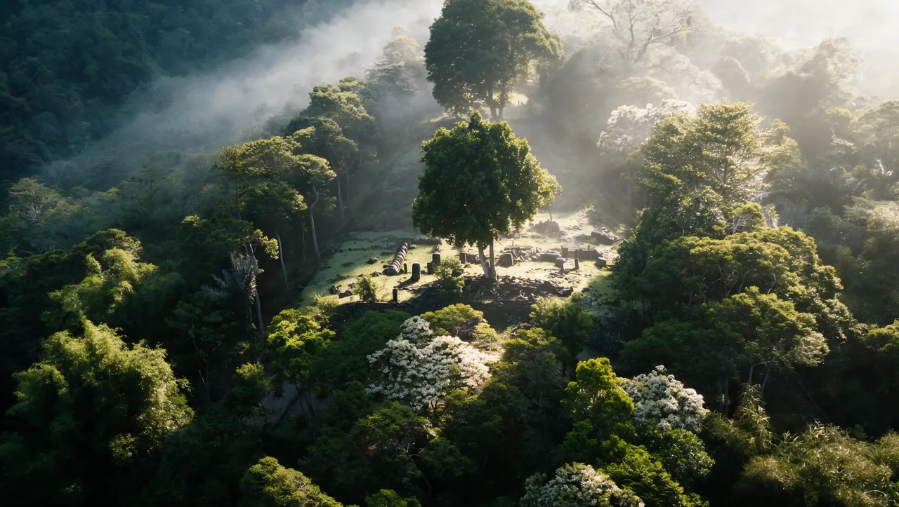
Drafts, then keyframes
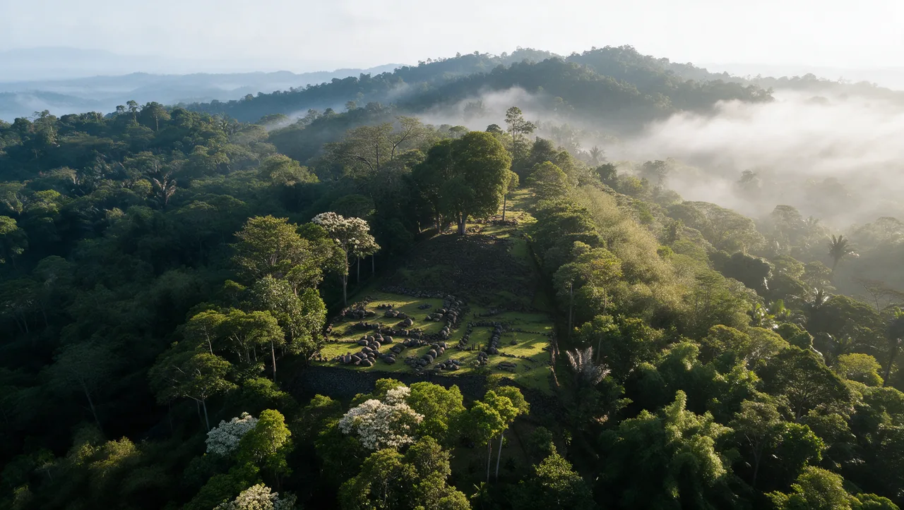
every shot starts as a draft still. the keyframe is the frame the video is generated from.
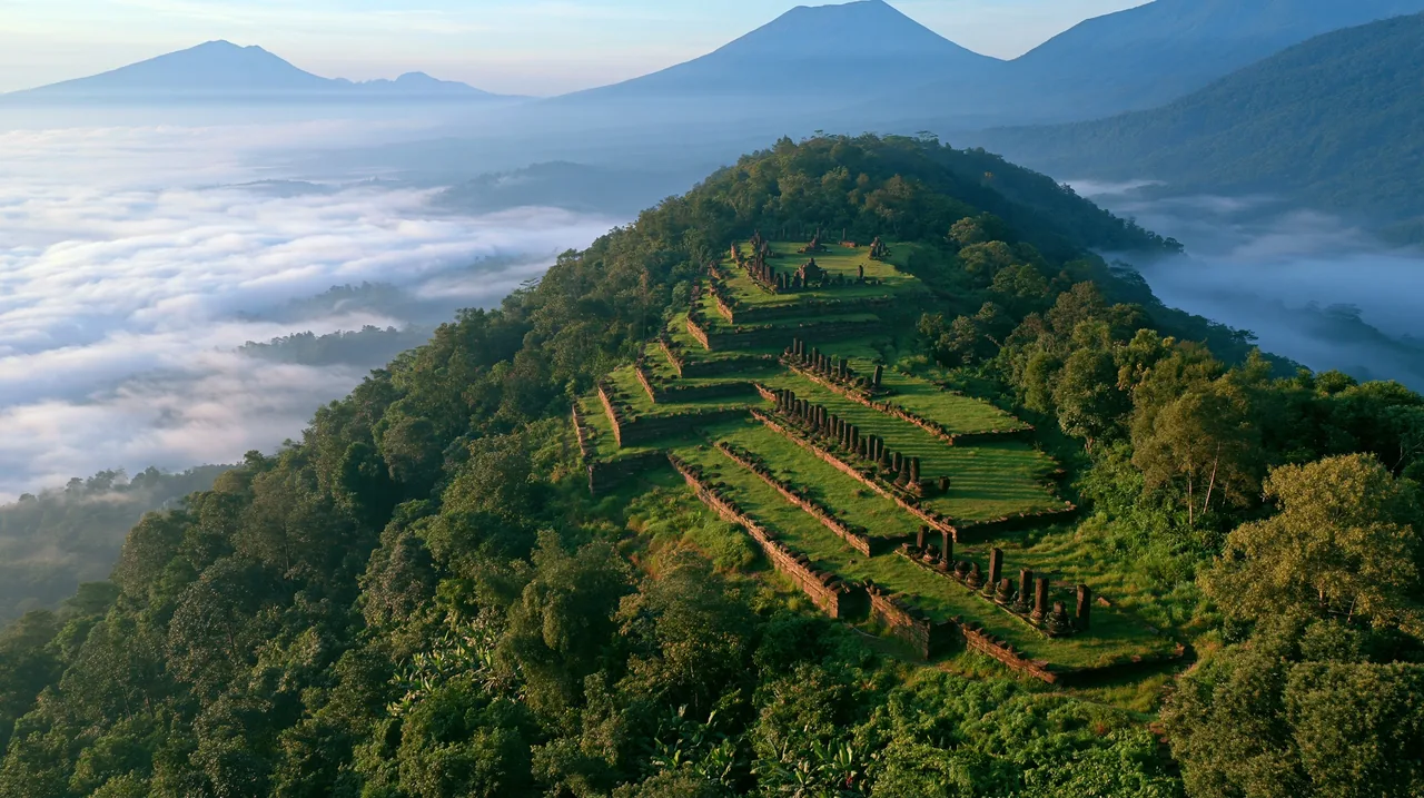 draft
 keyframe
 draft
 keyframe
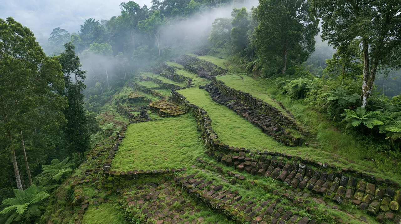 draft
 keyframe
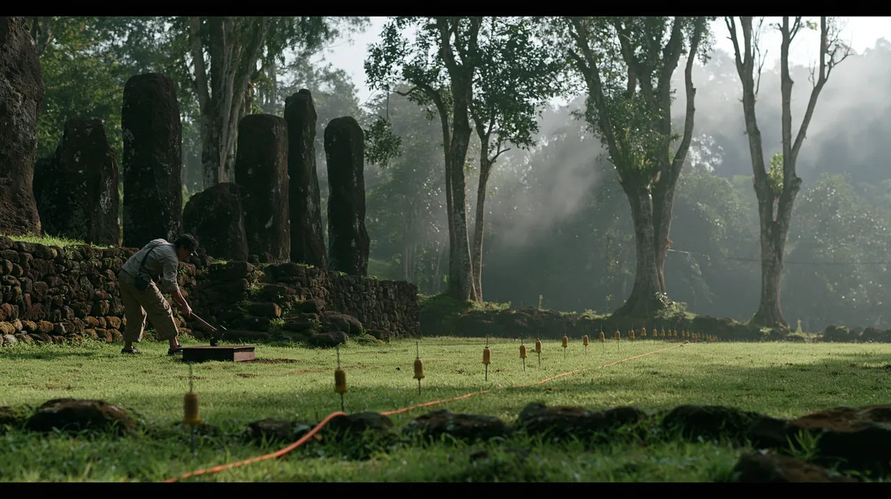 draft
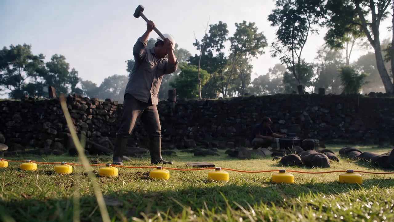 keyframe
One move, two generations
the room, the forest and the survey line are one camera move, with no cut between them.
Graphics made in code
rendered frame by frame and tracked to the plates.
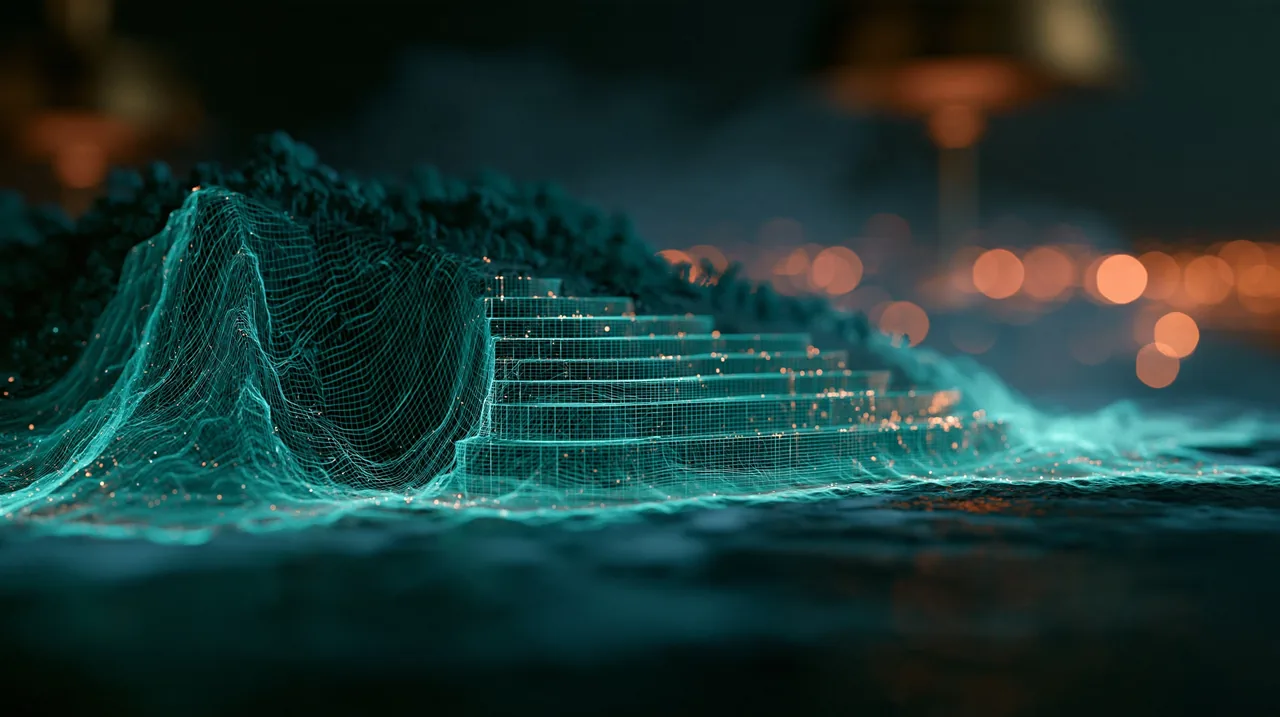
The lock-on grid
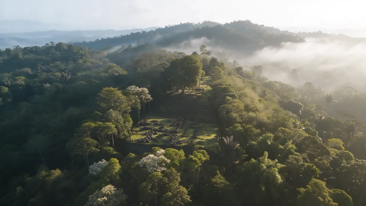
- 01the plate
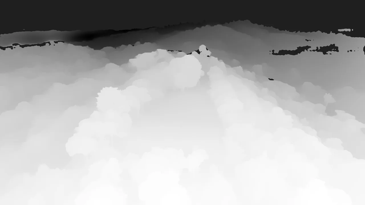
- 02its depth
- 03in the film
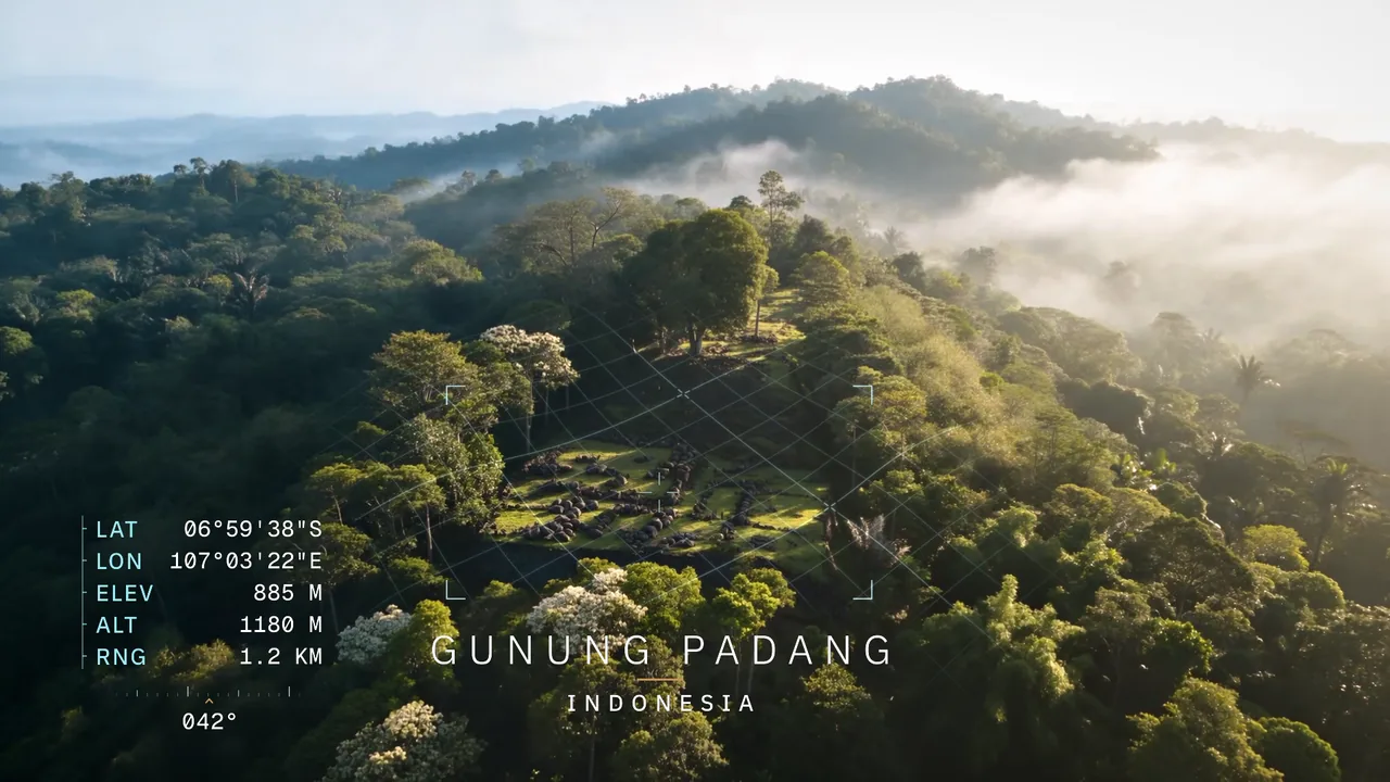
a depth map of the plate drapes the grid over the real relief of the hill, so it locks onto the terraces instead of floating above them.
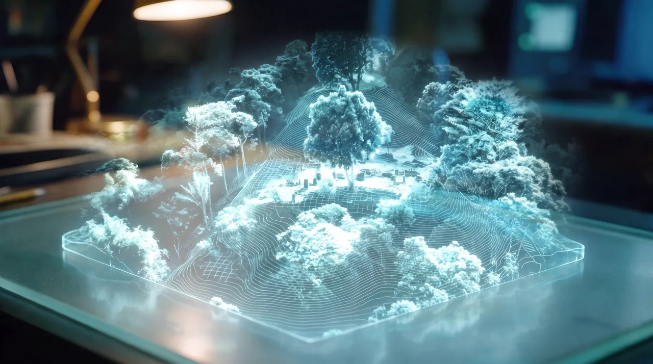
The seismic cutaway
- 01painted rock face
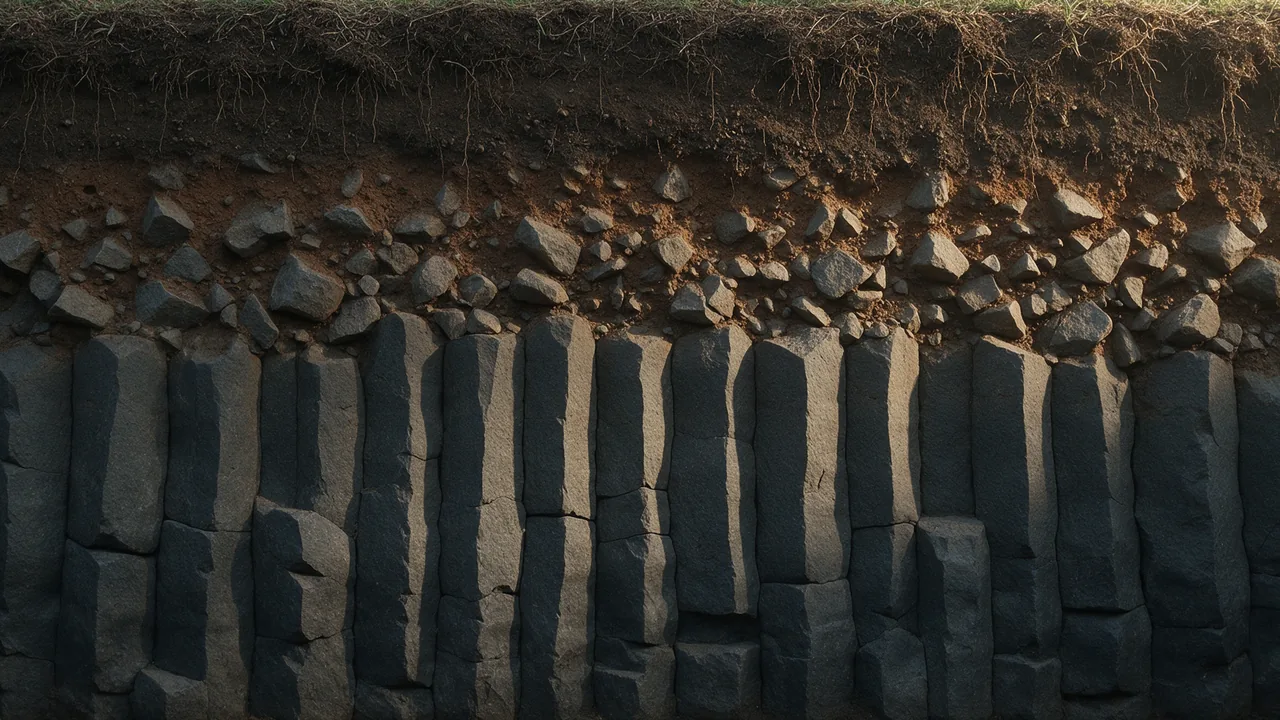
- 02the cutaway layer
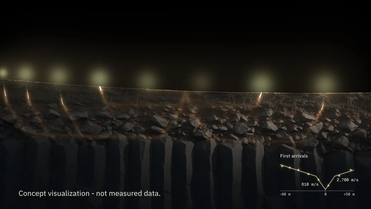
- 03in the film
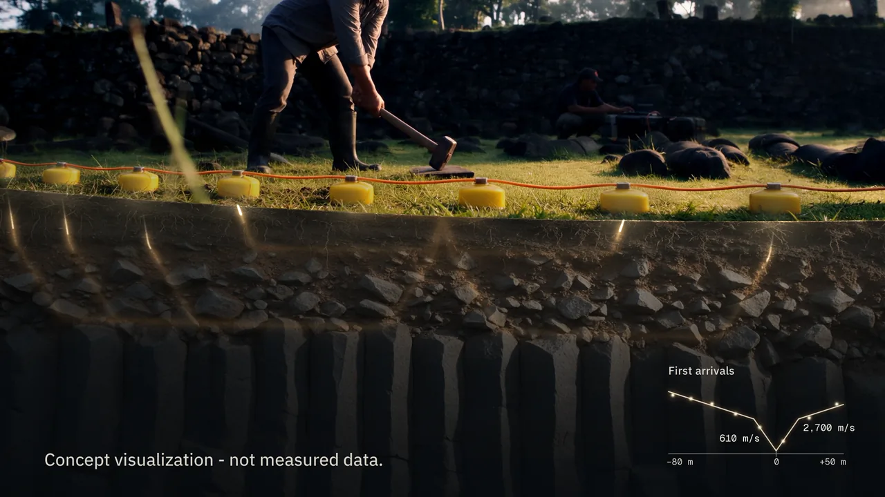
a painted face of topsoil, rubble and columnar rock, lit to match the plate, then the wave, the geophones and the first-arrivals plot on top.
Nothing in the cutaway is a measurement
It shows how a refraction survey works. The wave comes from a travel-time model of layered ground, so it bends at each boundary and reaches the eight geophones in the order the physics says it should.
It makes no claim about what lies under the hill, and the caption on screen says so.
How it is made
- 01
look
every shot was drafted as a still first, then rebuilt as a final keyframe. the host and his colleague come from the character sheets in the brief and stay the same two men in every shot.
- 02
the planet
a Blender Earth built from NASA imagery and Copernicus elevation, checked against real coastlines. it settles with Indonesia facing camera, and the dive is aimed at West Java, where the site is.
- 03
the move
from the room to the field is one camera move across two generations, with every keyframe pinned to its exact frame. drafts were judged small, and only the picked takes were finished at full size.
- 04
the edit
the long move is speed-ramped to the score from measured camera motion, and nobody on screen is ever sped up. the retiming is optical flow, which also hides the join between the two generations.
- 05
the graphics
built in code and tracked to the plates. a lock-on display finds the site through the clouds, and the ground under the survey line opens onto a cutaway driven by a model of how the shock of a hammer travels through rock.
- 06
the sound
one score written for this cut, edited only on bar lines. its crash lands as the hologram opens into the real hill and its hit sits under the hammer strike. the effects are made from the score itself, in key and kept low.
What was generated, and what was not
- Picture
- the Earth, the clouds, the site, the room, the people and the survey, generated with Seedance 2.5 from Midjourney and Seedream 5.0 Pro keyframes
- Host and colleague
- cast from the character sheets supplied with the brief
- Site layout
- from a reference video of the real site, with no footage from it in the film
- Earth geography
- NASA Blue Marble and Copernicus elevation, both public data, through Blender
- Display, cutaway, caption, end card
- designed in code and composited. the rock face in the cutaway is painted with Seedream 5.0 Pro
- Narration
- a MiniMax voice through Higgsfield, deepened in post
- Host dialogue
- generated with the picture
- Music
- one Suno take, edited to picture on bar lines
- Effects
- designed from the score and the clips’ own audio
- Logo
- the client’s own
- Edit, grade, finish
- Palmier Pro